Topographic Surveys in Dallas–Fort Worth
Detailed Elevation Data for Smarter Planning and Design
Global Land Surveying provides accurate, high‑resolution topographic surveys in Dallas–Fort Worth to support architects, engineers, contractors, and developers. Our elevation and feature mapping helps optimize site planning, grading, drainage, and land development so projects move forward with confidence and compliance.
Our topo surveys capture both natural and man‑made features—delivering the complete picture of your site, not just the parcel boundaries—so design teams can work in harmony with existing conditions and meet regulatory and structural requirements.
What’s Included in a Topographic Survey
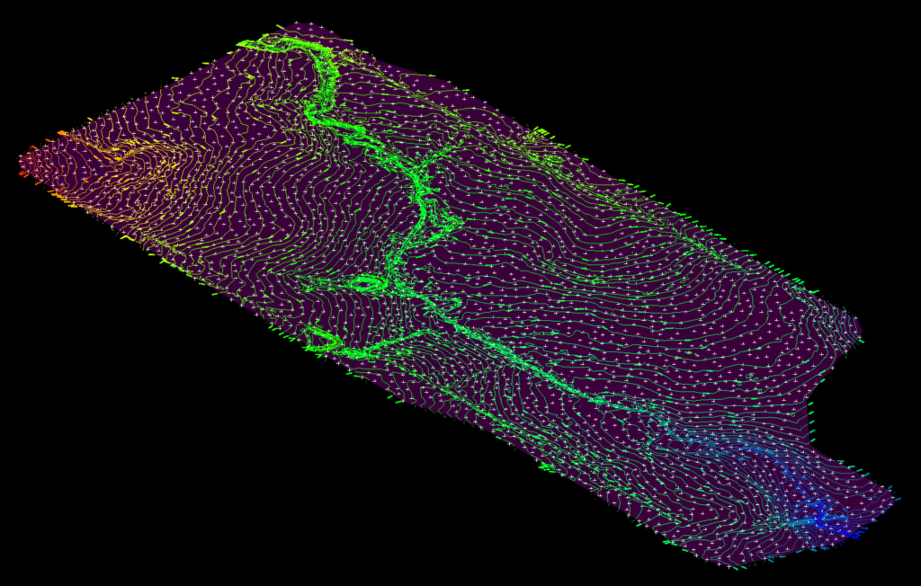
- Contour lines and elevation data (spot grades, breaklines, benchmarks)
- Natural features (trees, creeks, terrain variations, slopes)
- Man‑made features (buildings, fences, pavement, retaining walls, visible utilities)
- Drainage patterns, low points, and flow paths for stormwater design
- Control points and coordinate systems suitable for CAD/BIM workflows
Our Tools & Approach
We tailor methods to each site, combining traditional surveying with advanced sensors to deliver precise, defensible data:
- GNSS/GPS and robotic total stations for high‑accuracy ground shots
- 3D LiDAR scanning (reality capture) for dense point clouds and complex features
- Drone‑based aerial mapping (when appropriate) for large areas and contours
- CAD‑ready deliverables compatible with AutoCAD, Civil 3D, and Revit
Who Needs a Topographic Survey?
- Architects & Engineers – site design, grading plans, utility coordination
- Developers – roadway layout, drainage, and infrastructure planning
- Contractors – cut/fill calculations, earthwork quantities, site prep
- Municipalities – drainage studies, permitting, and compliance checks
Deliverables
- CAD files (DWG/DXF) with layers for contours, spot elevations, and features
- PDF plan sheets with legends, notes, and scales
- Point clouds / surfaces (TIN/DEM) when required for design
- Georeferenced imagery and control reports (as scoped)
Build with Confidence
A topographic survey is the foundation of a successful project. Let Global Land Surveying provide the insight and accuracy your site needs—across Dallas, Plano, Frisco, and the greater DFW area. Contact us today to request a topo survey quote.