3D LiDAR Scanning and Reality Capture Surveys in Dallas–Fort Worth
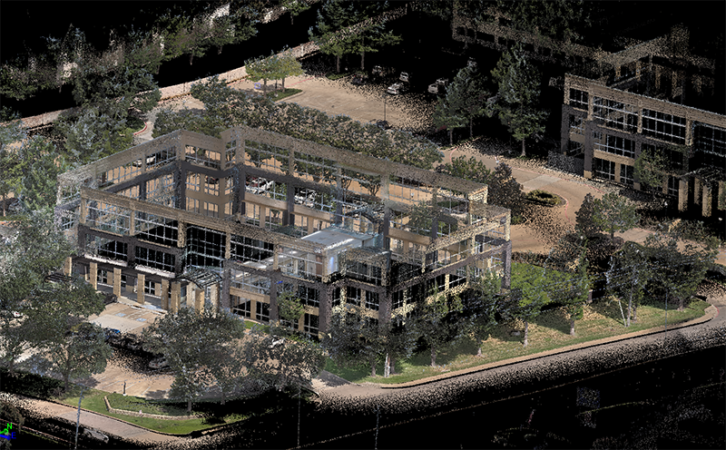
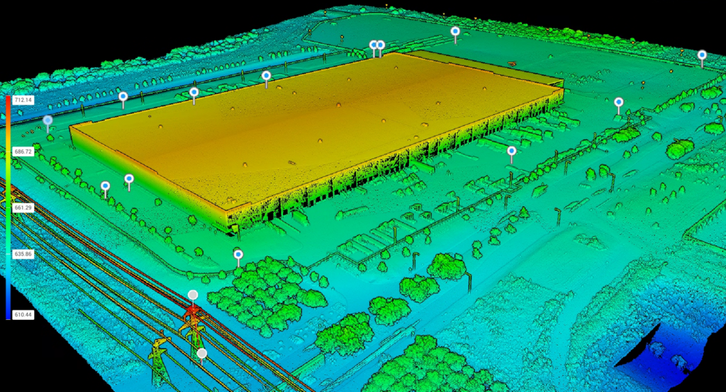
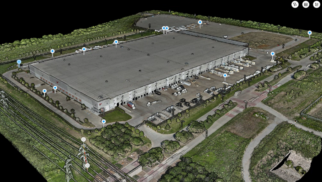
Global Land Surveying provides advanced 3D LiDAR scanning services in Dallas–Fort Worth, delivering highly accurate, fast, and detailed measurement solutions for architects, engineers, contractors, and developers. Our reality capture technology transforms physical spaces into precise digital models, reducing field time, minimizing errors, and supporting efficient planning, design, and construction.
Applications of 3D Scanning
- As-built documentation for commercial, industrial, and residential structures
- Existing condition models for renovation, expansion, and adaptive reuse projects
- Structural analysis, deformation monitoring, and quality assurance
- Historic preservation and restoration with millimeter-level accuracy
- Clash detection and coordination in BIM environments
- Reality capture of hard-to-reach, complex, or hazardous sites
Why Use 3D LiDAR Scanning?
- Captures millions of data points in minutes for unmatched detail
- Reduces field time and minimizes costly rework
- Provides rich, accurate datasets for CAD, BIM, and 3D modeling
- Improves safety by limiting time in hazardous or confined areas
- Supports better collaboration between architects, engineers, and construction teams
3D Scanning Deliverables
- Registered point clouds for design and analysis
- 2D drawings, floorplans, and elevation views
- High-resolution 3D mesh and surface models
- Deliverables compatible with Revit, AutoCAD, and Civil 3D
Ready to Scan Smarter?
If your project requires detailed measurement, speed, and accuracy, our 3D LiDAR scanning surveys are the solution. Contact Global Land Surveying today to learn how reality capture can streamline your next project across Dallas, Plano, Frisco, and the greater DFW area.