Our Land Surveying Services in Dallas–Fort Worth
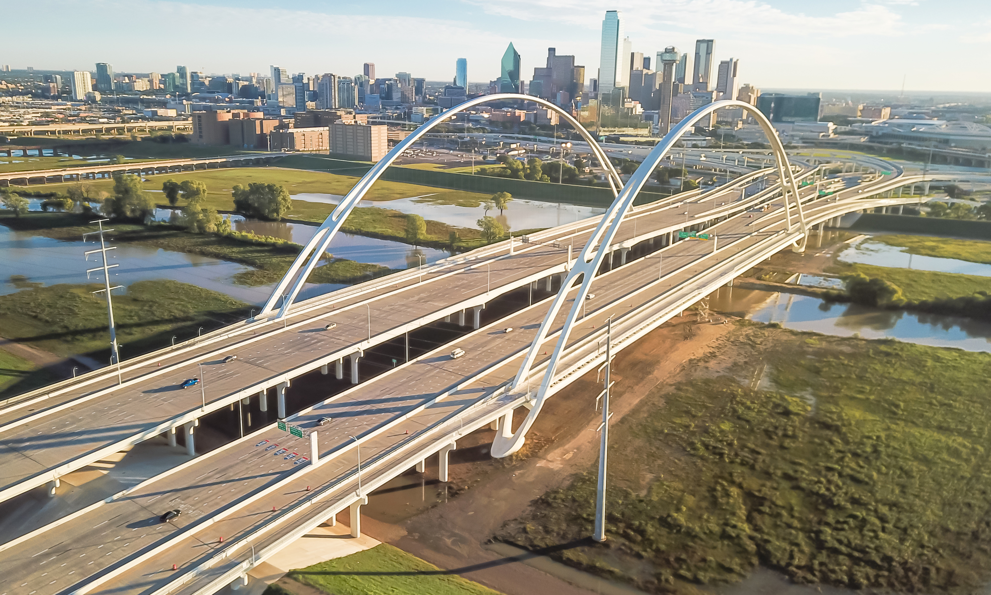
Global Land Surveying provides residential, commercial, and specialized surveying services across Dallas, Plano, Frisco, and the greater DFW area. From topographic surveys to elevation certificates and 3D LiDAR scanning, our team delivers accurate results for projects of any size.

Excellence in Every Survey
At Global Land Surveying, we deliver precise, reliable surveying solutions backed by decades of expertise and cutting-edge technology. We ensure every project is completed with accuracy and care, providing the confidence you need to move forward.
Learn More About Our Services
Our residential surveying services provide accurate property boundary identification, helping homeowners, buyers, and developers make informed decisions. Whether you’re purchasing a new home, adding an extension, or resolving property disputes, we offer precise measurements and documentation to ensure a seamless process. Learn more on our Residential Services Page.
We assist businesses, developers, and property owners with commercial land surveys tailored to large-scale projects. Our surveys support site planning, zoning compliance, and property transactions, delivering reliable data for informed decision-making. With a focus on accuracy and efficiency, we help optimize land use for commercial developments. Learn more about our Commercial Services here.
We partner with home builders to provide accurate and timely surveying services throughout every phase of residential development. From initial boundary and topographic surveys to construction staking and final platting, our team ensures each project meets regulatory requirements and is built on a solid foundation. With a deep understanding of timelines and site-specific challenges, we support builders in creating safe, efficient, and well-planned communities. Learn more about our services for Home Builders here.
Topographic surveys provide a detailed representation of the natural and man-made features on a piece of land, including elevation changes, trees, structures, and drainage patterns. These surveys are essential for architects, engineers, and developers during the design and planning phases of construction projects. Our team uses advanced equipment to deliver precise, up-to-date topographic data that helps ensure designs are compatible with the landscape and compliant with local regulations. Learn more about our Topographic Surveys here.
Our aerial mapping and drone services use drone-based technology to capture high-resolution images and data from above, allowing for efficient and comprehensive site analysis. Ideal for large or hard-to-access areas, aerial mapping helps clients visualize land features, monitor progress, and gather key spatial data without disrupting ground operations. The result is a clear, cost-effective overview that enhances planning, development, and decision-making. Learn more about our Aerial Mapping services here.
We utilize advanced 3D LiDAR scanning to capture highly accurate digital representations of landscapes, structures, and terrain. This cutting-edge technology provides precise elevation data, reducing project risks and enhancing planning for land development, infrastructure, and environmental assessments. Learn more about our 3D LiDAR Scanning services here.
Our Matterport 3D Tours provide an immersive, high-resolution digital experience that allows clients to explore properties and project sites from any location. Using cutting-edge 3D scanning technology, we create interactive, true-to-scale virtual tours that enhance visualization, improve planning, and streamline decision-making. Whether for real estate, construction, or site documentation, Matterport tours offer a seamless way to showcase spaces with precision and detail. Learn more about our Matterport 3D Tour services here.
We provide precise construction staking services to guide site development, ensuring structures and utilities are built according to engineering and design plans. Our staking solutions help contractors and developers maintain accuracy, minimize errors, and optimize project efficiency from start to finish. Learn more about our Construction Staking services here.
Our platting services assist landowners in legally subdividing property, creating new lots, and ensuring compliance with local regulations. We prepare and file detailed plats that clearly outline property divisions, roadways, easements, and other key elements essential for future development. Learn more about our Platting services here.
Our easement exhibit services document and define legal access and utility rights for property owners, municipalities, and developers. We create clear, detailed exhibits that facilitate property agreements, ensuring all parties understand land use rights and restrictions. Learn more about our Easement Exhibits here.
We provide elevation certificates essential for floodplain management, insurance requirements, and construction planning. Our precise elevation data helps property owners and developers determine flood risk, comply with regulations, and secure appropriate insurance coverage. Learn more about our Elevation Certificates here.