Drone Aerial Mapping & Photogrammetry Services in Dallas–Fort Worth
Efficient, Accurate Data from Above
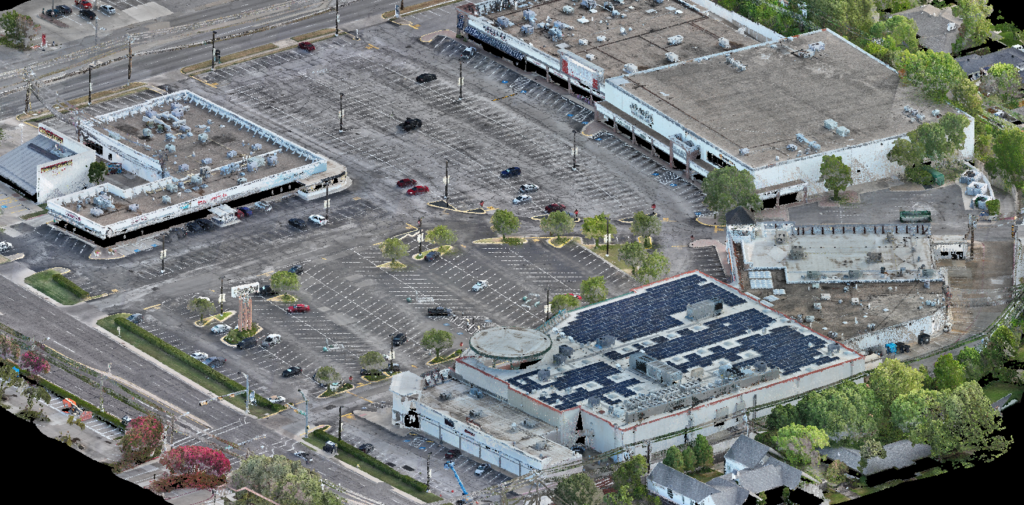
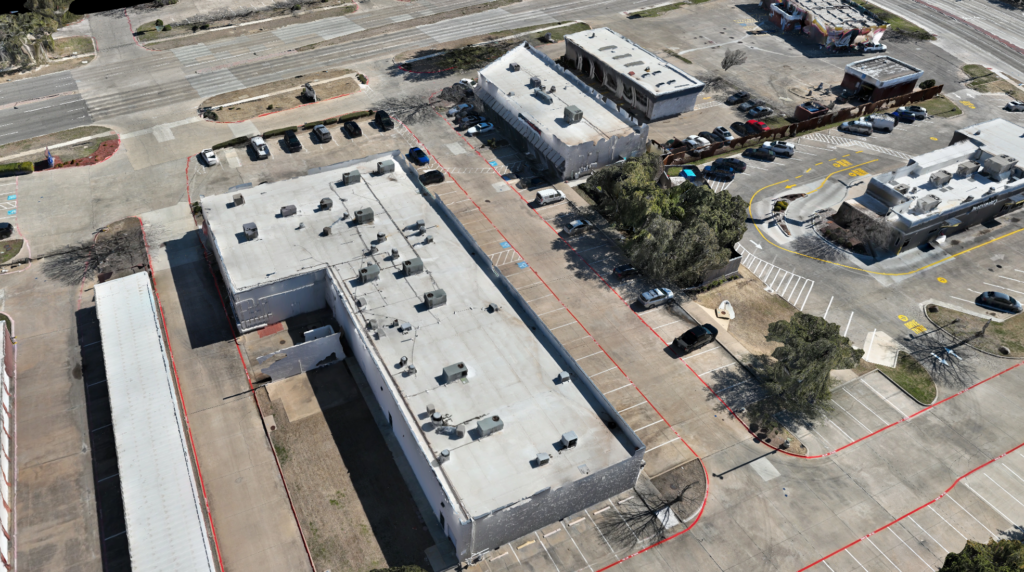
Global Land Surveying delivers high‑resolution drone aerial mapping and photogrammetry services in Dallas–Fort Worth, capturing detailed, scalable site data without disrupting activity on the ground. Ideal for large, complex, or hard‑to‑reach locations, our aerial surveys accelerate timelines, reduce field hours, and provide expansive visual context for planning, design, documentation, and construction. We also do weekly / monthly aerial site monitoring services.
What Drone Services Can Do
- Create georeferenced orthomosaic maps for site planning and development
- Generate 3D site models (point clouds/meshes) for design, engineering, and progress monitoring
- Support topographic and volumetric analysis with precise elevation data (stockpiles, cut/fill)
- Document existing conditions pre‑construction and capture as‑built or progress over time
- Safely survey sensitive or inaccessible areas to improve safety and efficiency
- Provide weekly and monthly aerial site monitoring
Technology & Accuracy
Using drone‑mounted cameras, GNSS/GPS control, and advanced processing software, our team converts imagery into precise, measurable datasets that integrate with your engineering and CAD platforms. When appropriate, we pair photogrammetry with 3D LiDAR scanning for dense, high‑accuracy reality capture.
- Deliverables: orthomosaics (GeoTIFF), DSM/DTM surfaces, point clouds (LAS/LAZ), contours, and CAD‑ready files (DWG/DXF)
- Integration: compatible with AutoCAD, Civil 3D, Revit, and common GIS platforms
- Control: ground control points (GCPs) and checkpoints available to meet project specs
Who It’s For
- Engineers & planners – early site data, feasibility, and concept design
- Construction teams – progress tracking, quantities, and earthwork monitoring
- Developers – large‑scale site management and due diligence
- Environmental consultants – remote access, monitoring, and documentation
Let’s Map It Out
Get a bird’s‑eye view of your next project—fast, safe, and accurate. Contact Global Land Surveying to request a drone mapping quote for sites across Dallas, Plano, Frisco, and the greater DFW area.