Elevation Certificate Surveys in Dallas–Fort Worth
Essential Documentation for Floodplain Compliance
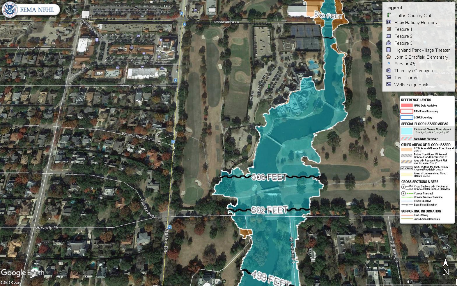
An Elevation Certificate (EC) is an official FEMA document that records a property’s elevation relative to the Base Flood Elevation (BFE)flood insurance, permitting, or construction within or near a designated flood zone. Global Land Surveying prepares accurate, FEMA-compliant Elevation Certificates in Dallas–Fort Worth to help clients avoid delays, secure appropriate insurance rates, and meet local building requirements.
Our licensed survey team collects and verifies all elevation data according to FEMA standards—so you can move forward with confidence.
When You Might Need an Elevation Certificate
- Buying or selling a home in or near a floodplain
- Applying for or updating flood insurance
- Constructing or remodeling in a FEMA-designated flood zone
- Challenging a flood designation through LOMA (Letter of Map Amendment) or LOMR (Letter of Map Revision)
What’s Included in an Elevation Certificate
- Building’s lowest floor elevation
- Comparison with the site’s Base Flood Elevation (BFE)
- FEMA Flood Zone classification
- Site photographs and supporting documentation
- Certification by a Registered Professional Land Surveyor (RPLS)
Why Work with Global Land Surveying
- Quick turnaround times to meet insurance or permitting deadlines
- Precision and compliance from a licensed survey team
- Extensive experience working with FEMA, municipalities, and insurance agents
- Clear communication and guidance on how the Elevation Certificate affects your property
Related Services
- Residential Boundary & Improvement Surveys
- Topographic Surveys
- Construction Staking
- Easement Exhibits
Need an Elevation Certificate?
Whether for compliance, flood insurance savings, or peace of mind, our team makes the process simple. Contact Global Land Surveying today to request an Elevation Certificate in Dallas, Plano, Frisco, or anywhere across the DFW metroplex.